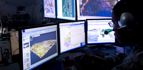
Geospatial & Geophysical Analysis
Our Geospatial Engineers uses teschnology such as GPS, airborne LiDAR, terrestrial laser scanners, high-resolution mobile laser scanning, robotic total stations and UAVs to create solutions in an ever-widening range of industries
Mapping and visualisation
This includes mapping in 3D of everything from the interior of buildings to the Earth’s terrain, and the generation of amazing flythroughs for land use planning and management.
Spatially-enabled industries
This includes robotics and machine automation, smart buildings and smart infrastructure, car navigation systems, transport logistics and new digital services for mobile phones.
Engineering Surveys
The increased scale and complexity of new infrastructure is very challenging, however, engineering surveyors are assisted by recent advances in measurement technology including: laser scanning, GPS, UAVs etc
However, Our Engineering Survey team are ever ready to undertake any project including pre- and post-construction surveys, through to ongoing monitoring of finished projects.

